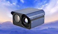
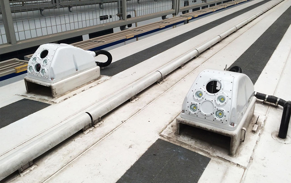
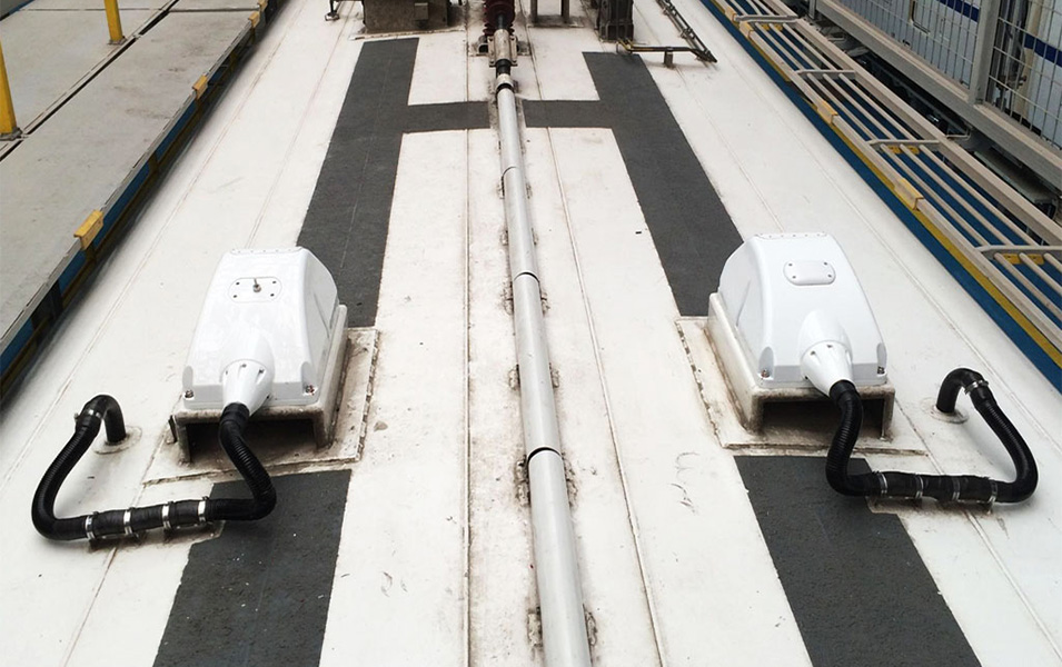
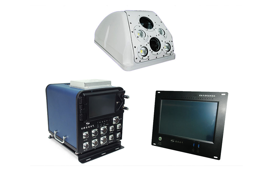
◇ Full radiometric infrared camera, high definition CCD camera and other device are integrated in one protective cover on the roof of electric train.
◇ Measure dynamic geometric parameters of overhead lines: the height and stagger of contact wires.
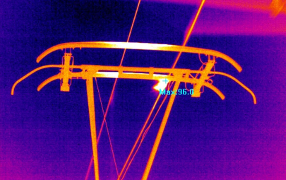
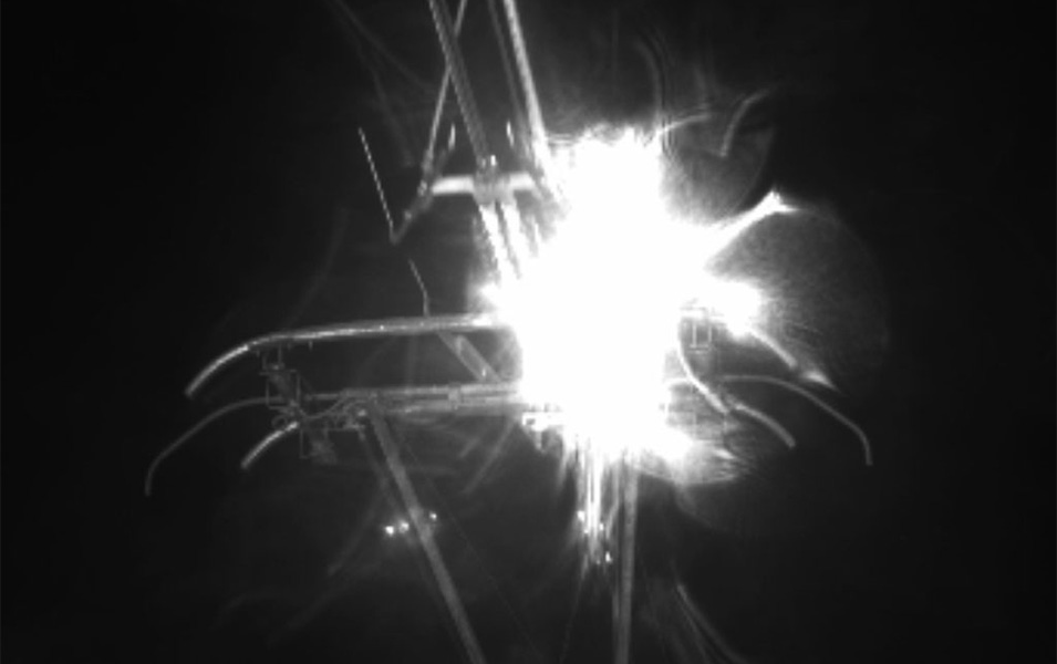
◇ Measure the relevant parameters of the power collection of pantograph and OCS: arcing frequency, arcing time and arcing rate.
◇ Measure the temperature of overhead lines
◇ Monitor the operation of overhead lines and overlay the data of videos and kilometer posts.
◇ Wireless sending of data and parameter detecting can be done automatically; detecting data can also be stored on the train.
◇ The detection function can be started and stopped based on the operation of trains automatically.
◇ With high definition CCD images collected, the working status of overhead lines is clearly displayed. Defects of overhead lines or their components can be confirmed in real time.
|
The performance index of detection system |
||
|
Serial No. |
Items |
Performance Index |
|
1 |
Basic imaging requirements of detecting equipment |
Clear imaging of pantograph under the speed of 160km/h |
|
2 |
HD CCD Vidicon |
1920X1080(25Hz) |
|
3 |
HD CCD Camera |
2448 × 2050(15Hz) |
|
4 |
Infrared Thermal Imager |
640×480(100Hz) |
|
5 |
Storage Capacity |
≥1T SSD |
|
6 |
Data Exchange Interface |
USB3.0 |
|
7 |
CCD Video Format |
MP4 |
|
8 |
CCD Image Format |
MJPEG |
|
9 |
Image Storage |
Based on time interval; stored in different folders |
|
10 |
3G Images Transmission Function |
Send HD CCD imagers to on-ground data center by 3G wireless communication. |
|
11 |
Positioning Function |
Through GPS and inertial navigation data, the positioning function (Positioning deviation is less than 50 meters) of images acquisition can be realized. |
|
12 |
Status Indicator Function |
Equip with normal and failure indicator function. |
|
13 |
On-ground Data Processing |
Support the operation of on-ground data processing software. |


 Chinese
 English